Progress Update - New Design and Functionality
Got quite a bit done since the last update. Some highlights include
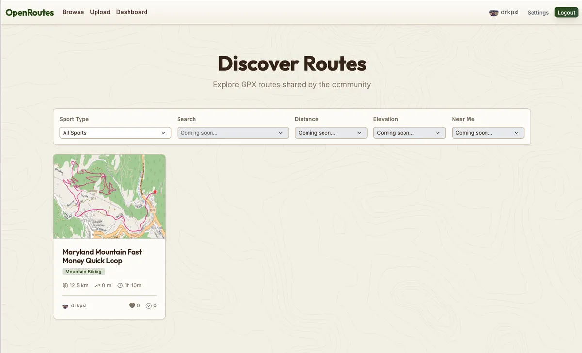
A New Theme. Earth tone, contour lines. A nice focus for the point of the site.
Updated Mapping Pipeline
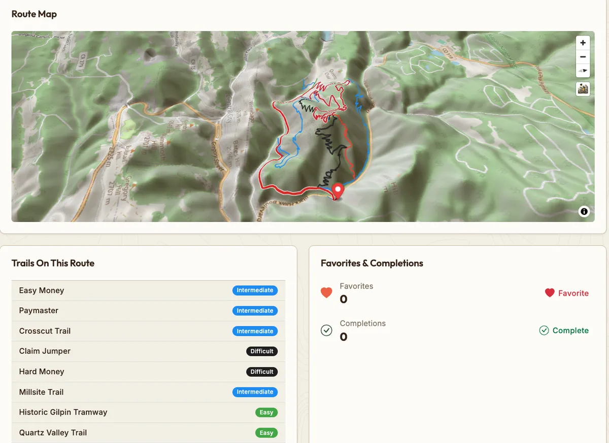
I was using MapTiler for maps, which I liked, but it was expensive. Now I am using pure Open Source maps which I cache and download to save their servers. This was quite a lift and the maps aren't perfect but I'm pretty happy with it. I also fetched IMBA MTB trails, showing color coded difficulty. Who needs TrailForks!
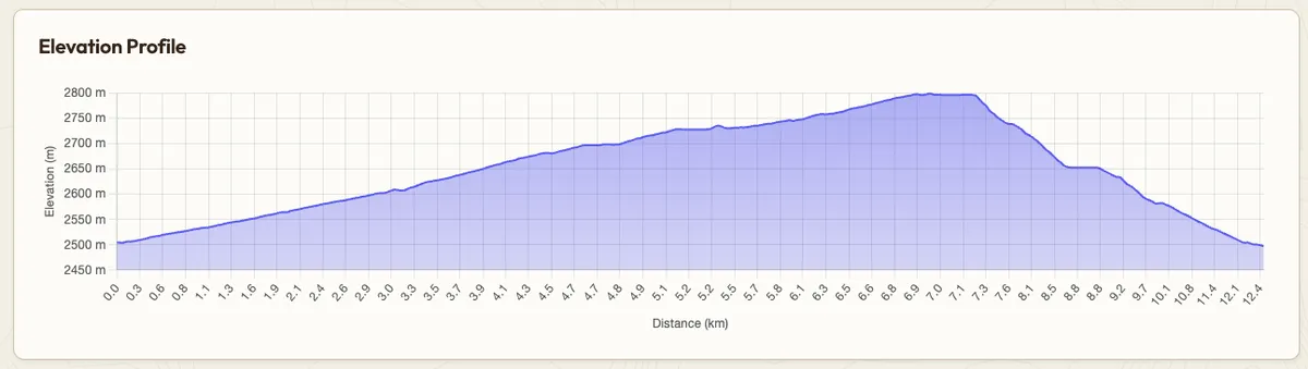
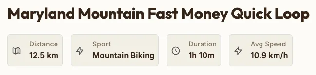
Updated Dynamic Route Profile and Summary Stats
You can click on the elevation profile and see its location on the map. If you upload a FIT file you can see your stats from that ride.
All in all quite a bit of updates, happy to see it coming along.